HISTORIX Vintage 1868 City of Fort Wayne Indiana Map - 18x24 Inch Vintage Map of
Shipping options
Seller handling time is 1 business day Details
This reflects the seller's handling time and may not include time spent in transit.
If you have questions about shipping, please contact the seller.
FREE via to United States
Return policy
Full refund available for DOAs
Details
- We guarantee our products and offer full refunds or exchange for defective items or items not as-described.
- Buyer must contact us within 30 days after receipt of shipment.
- The item must be received in the same condition as shipped.
- Items must be returned with all original packaging and accessories.
- Items must not be abused, modified or damaged by accident.
- A 20% restocking fee will be charged for returns
- Buyer is responsible for all return shipping and handling fees.
- Restocking and return shipping fees do not apply when item is returned as defective or because incorrect product was delivered.
Payment options
PayPal accepted
PayPal Credit accepted
Venmo accepted
PayPal, MasterCard, Visa, Discover, and American Express accepted
Maestro accepted
Amazon Pay accepted
Nuvei accepted
Item traits
| Category: |
Kitchen Scales
|
| Quantity Available: |
16 in stock
|
| Condition: |
New
|
| ASIN: |
B0884SYB3S
|
| Item Name: |
HISTORIX 1868 Fort Wayne, Indiana Birds Eye View
|
| manufacturer: |
Historix
|
| Item Type Keyword: |
prints
|
| Brand: |
HISTORIX
|
| Unspsc Code: |
52140000
|
| sizes: |
View details
24L" x 18W" (8 in stock)
32L" x 24W" (8 in stock)
|
Listing details
|
Seller policies:
|
View seller policies
|
|
Shipping discount:
|
Seller pays shipping for this item.
|
|
Posted for sale:
|
May 1
|
|
Item number:
|
1743604001
|
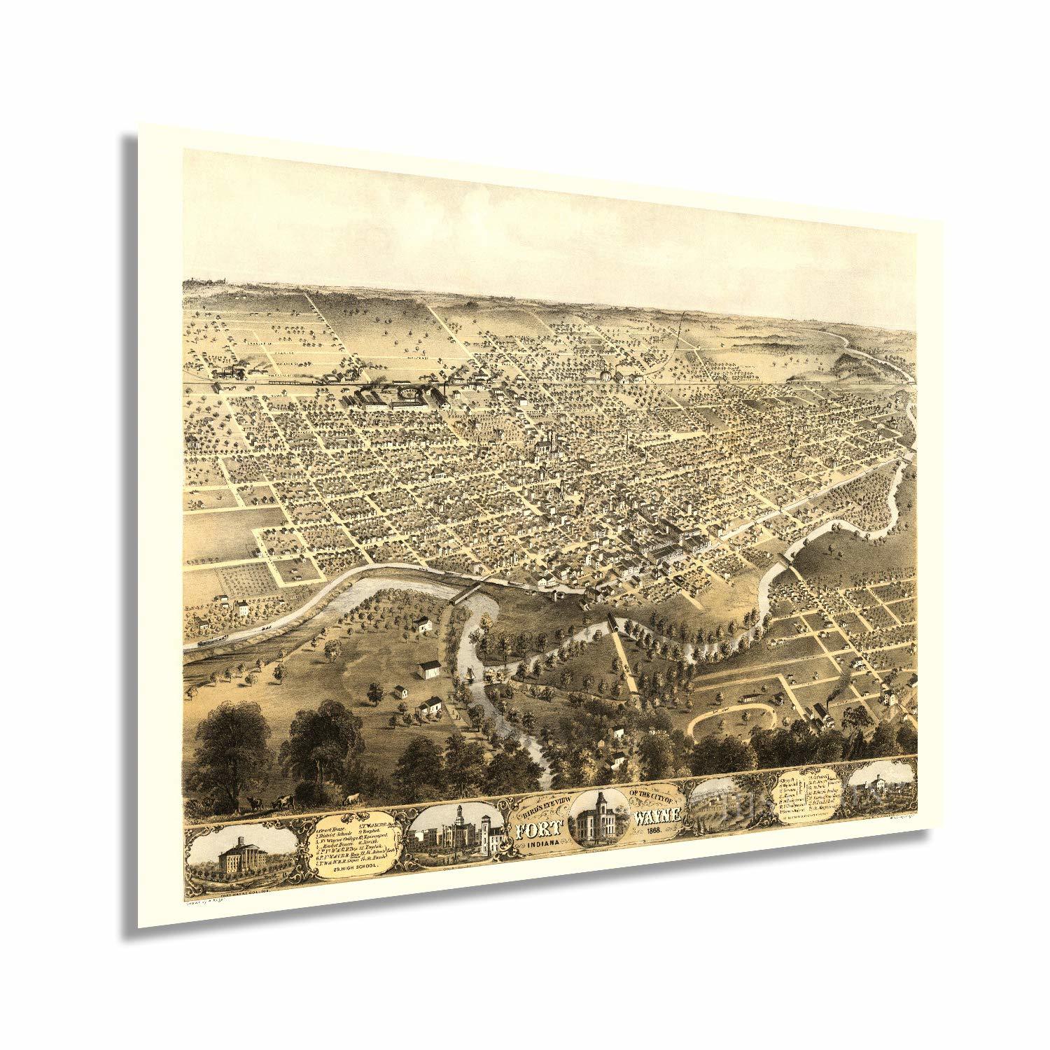
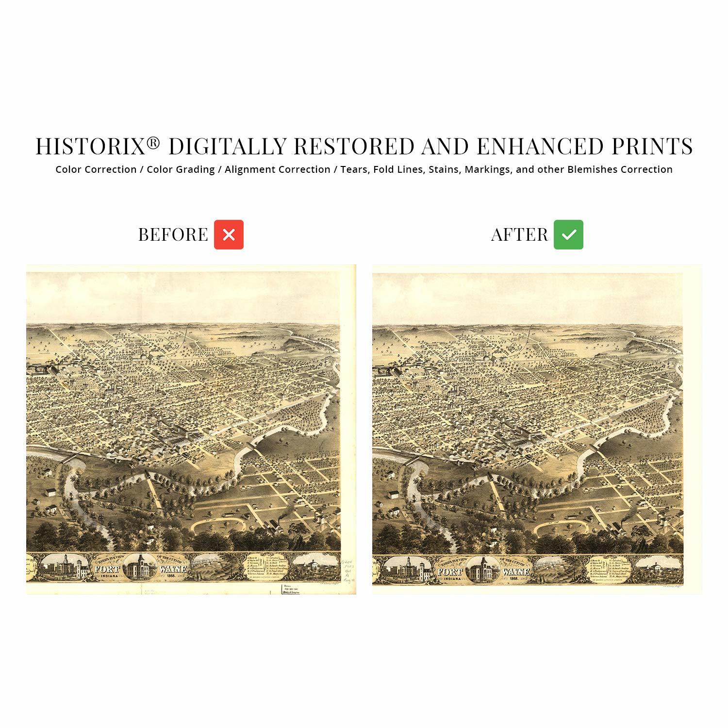
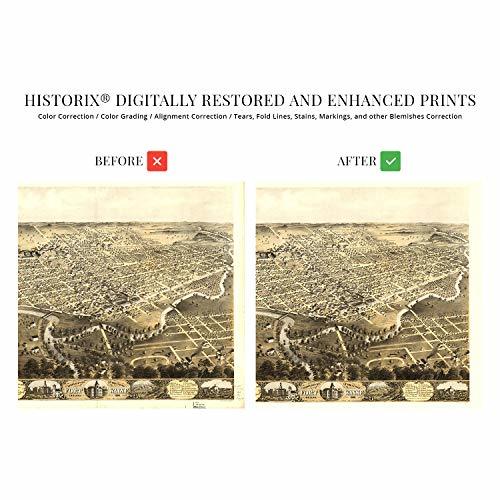
Following the conclusion of The American Revolution, President Washington ordered troops into the mid-west, and Fort Wayne was established as a military outpost. Named after Revolutionary War Hero General Anthony Wayne, this location at the confluence of the St Joseph, St Mary’s and Maumee Rivers. These waterways would eventually become the Wabash and Erie Canal. This 460-mile waterway is the largest canal in North America and provided traders access from the Great Lakes to the Gulf of Mexico and became operational in 1843.
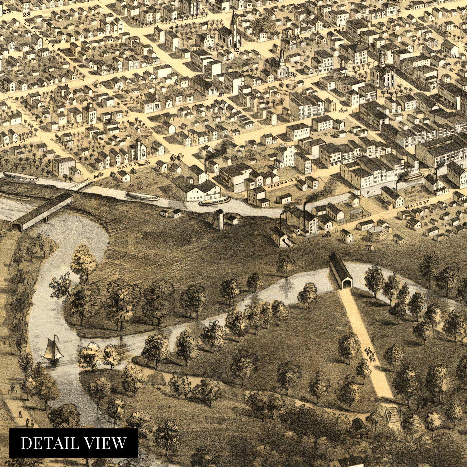
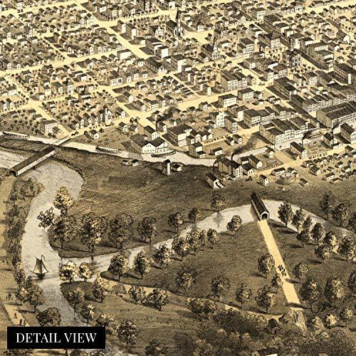
This birds’ eye perspective illustrated by prolific American lithographer Albert Ruger, these unique depictions were produced for residents and merchants to display their civic pride and often portrayed notable buildings and schools prominently. These panoramas were popular in their time, and their unique aesthetic immediately transports the viewer back in time because they were produced for more artistic reasons these maps give historians an idea of what daily life looked like in the mid-19th century.
The city experienced a manufacturing book in the early 1800s and saw a massive influx of Irish and German immigrants, who were flocking to the United States to escape the Great Famine and social unrest in their home countries, respectively.
Ft Wayne became one of the central hubs for manufacturing and shipping in the midwest once railroads became established, and the region experienced a long period of development and prosperity. This remarkable illustration links the past with the present and is truly an authentic piece of cartographical history.
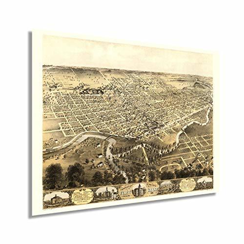
Our museum quality giclee print comes printed with archival ink on premium heavyweight matte paper. Shipped in a sturdy cardboard tube your print will arrive ready to be framed. This eye-catching vintage map reproduction print makes the perfect gift for anyone that loves history and imagery.