Quality items from Bonanza’s top-rated sellers.
bluesagecollectibles earned a 100% satisfaction rating for providing an excellent experience from start to finish. View booth >>
| Category: | |
|---|---|
| Quantity Available: |
Only one in stock, order soon |
| Condition: |
Used |
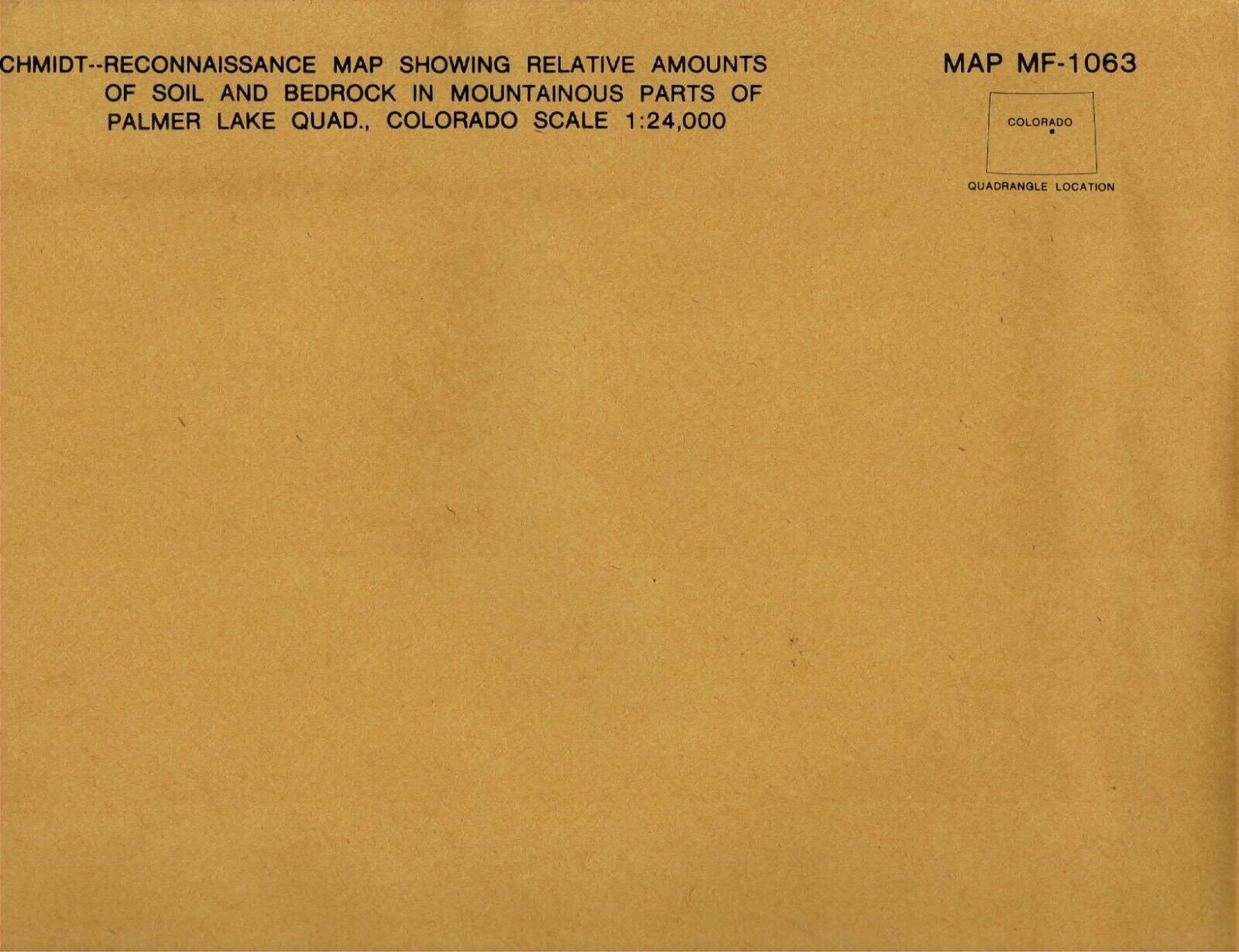
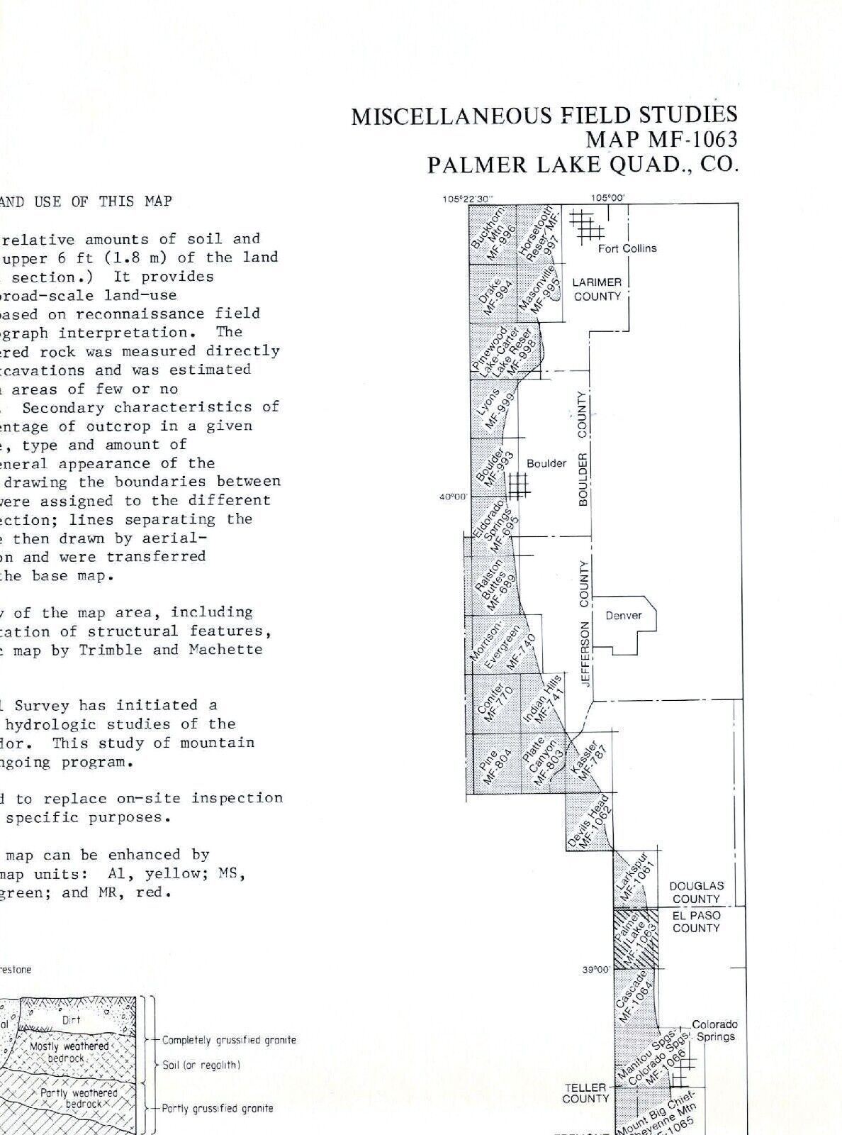
| Type: |
Geological Map |
| Original/Reproduction: |
Vintage Original |
| Date Range: |
1970-1979 |
| Year: |
1979 |
| Country/Region: |
United States of America |
| US State: |
Colorado |
| Format: |
Folding Map |
| Printing Technique: |
Lithography |
| Cartographer/Publisher: |
U. S. Geological Survey |
| Seller Notes: |
“Like new condition in original envelope.” |
| Seller policies: | |
|---|---|
| Posted for sale: |
More than a week ago |
| Item number: |
1356160746 |
We'll email you a link to your item now and follow up with a single reminder (if you'd like one). That's it! No spam, no hassle.
